Branson Hiking Trails
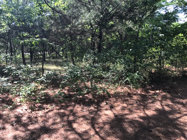
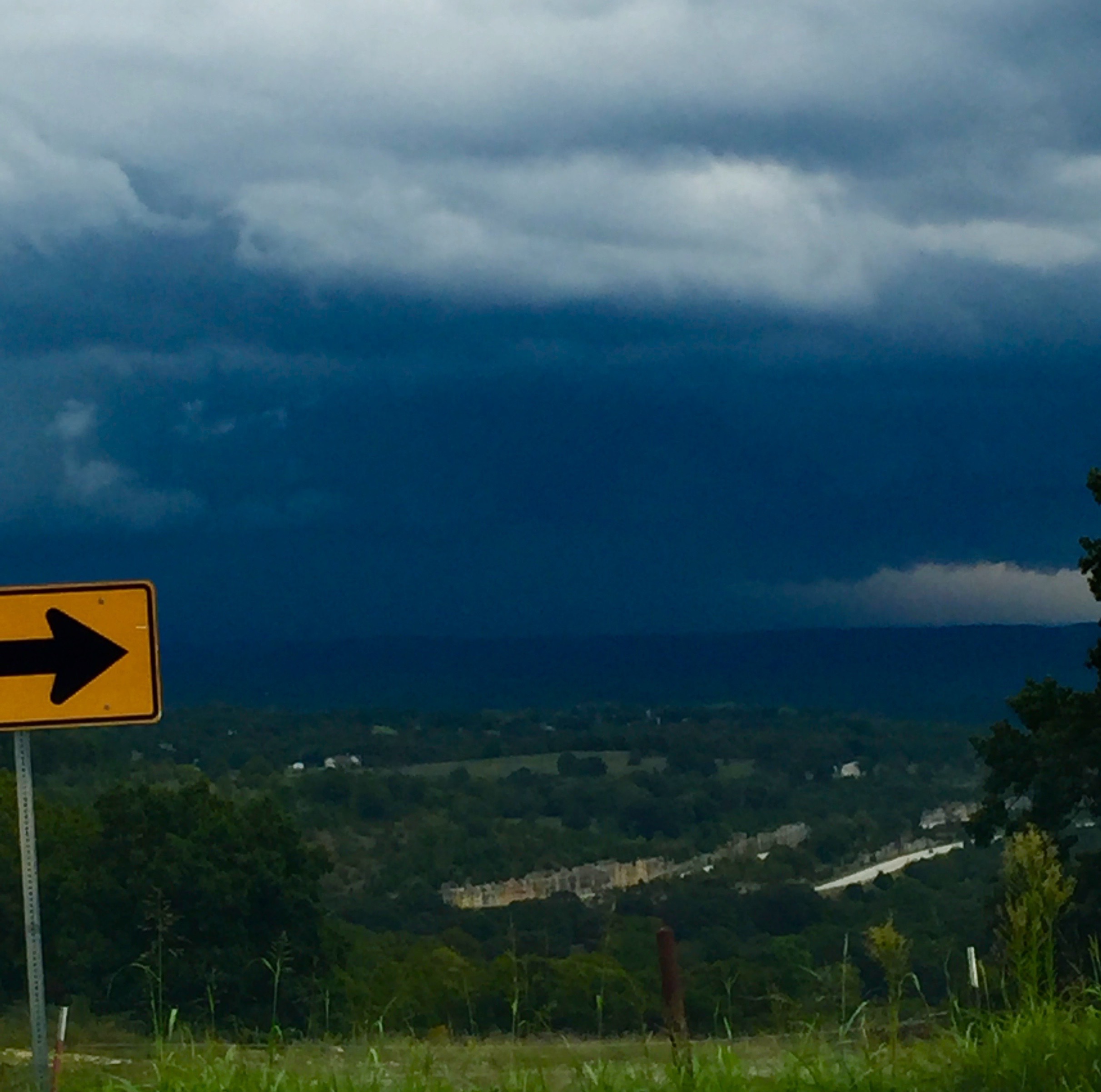
Enjoy the nature and beauty of Ozark Mountain Country from the various hiking trails offered in Branson and surrounding areas. Be sure to look up and down and all around. You will find treasure along the way!
North Beach
North Beach: The 3/4 mile path is located on the banks of Lake Taneycomo and connects to the Branson Landing Boardwalk.
Lakes Forest Wilderness Area
Lakes Forest Wilderness Area: A 4.4-mile trail including 315 stonework steps constructed in the late 1930s, beautiful woodlands, an old homestead and barn, two caves, grotto, waterfall, and stunning views of Lake Taneycomo.
Roark Creek
Roark Creek Trail: 3.2 miles of trail with all but the last 1/2 mile paved. The trail ends on a bluff overlooking the creek. There is also a 1/2 mile ADA accessible trail.
Waterfall Trail
Waterfall Trail: This 2/3 mile long trail is an unpaved footpath and rugged in some locations. The trail features two creek crossings, beautiful rock formations, a waterfall, and a dense tree canopy.
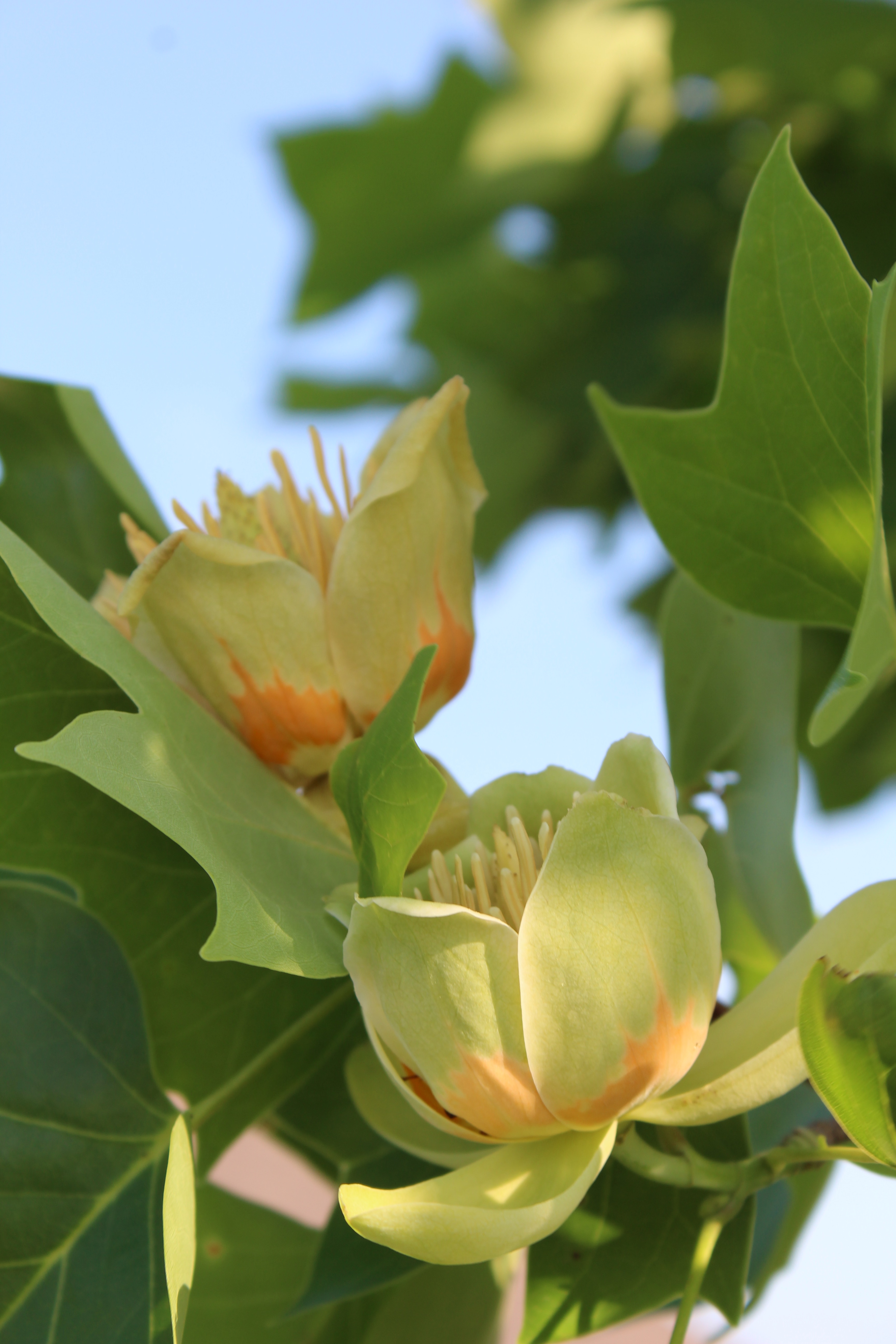
Table Rock Lakeshore Trail
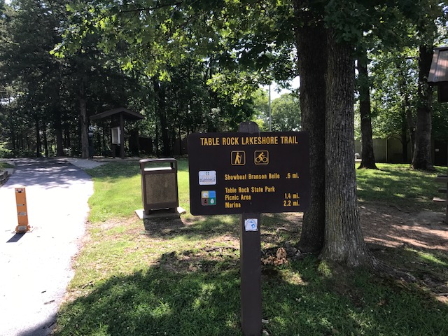
Table Rock Lakeshore Trail: A 2.25-mile trail along the shores of Table Rock Lake from the State Park Marina to Dewey Short Visitor Center. The path is paved, relatively flat, and wheelchair accessible.
Chinquapin Trail
White River Valley Trail
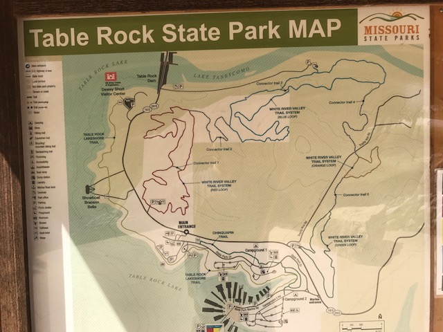
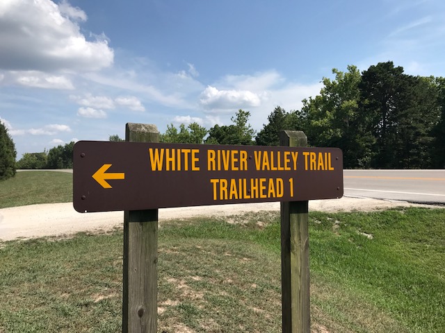
White River Valley Trail: A 10.25-mile trail on Table Rock State Park and US Army Corps land. The trail is sectioned into loops and offers a variety of surfaces and challenges.
Ruth & Paul Henning Conservation Area
Ruth & Paul Henning Conservation Area: 3.6 miles with four different hiking experiences: Homesteader’s Trail, a difficult hike of 3.4 miles; Glade Exploration Trail, a moderate hike of 1.1 miles; Shane’s Shortcut, a difficult hike of .30 miles; Dewey Bald Trail, a moderate hike of .40 miles; and Streamside Trail, a moderate hike of .40 miles.
Branson Creek Hiking Trails
Branson Creek Hiking Trails: Located in an extensive acreage of a residential area accessible to the public, Branson Creek offers over 15 miles of hiking and biking trails. Discover caves and fascinating historic sites like the remains of Melva, a ghost town destroyed by a storm in the early 1900s.
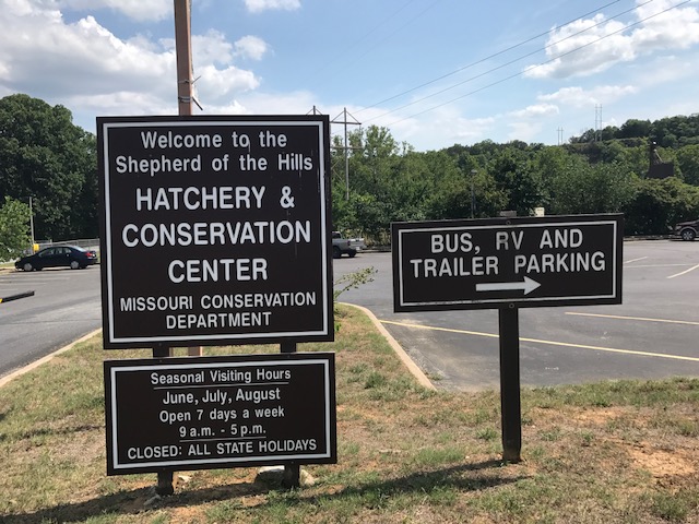
Shepherd of the Hills Fish Hatchery Trails
Shepherd of the Hills Fish Hatchery Trails: Explore the 0.9-mile Canebrake and White River Corridor Trail along the river downstream of Table Rock Dam, the .40 mile Fisherman’s Trail with access to fishing holes, and the White River Bluffs Trail, a 1.6-mile loop offering a challenging hike with some gain in elevation.
Drury-Mincy Conservation Area
Drury-Mincy Conservation Area: The area features 1.5 miles of difficult-level hiking on Bear Creek Trail plus Thurman’s Sink, a .30-mile trail with moderate difficulty. Less than 10 miles from Branson.

Busiek State Forest
Busiek State Forest: Approximately 18 miles of well-marked trails for use by hikers, bicyclists, and horseback riders. Located just 20 minutes north of Branson.
Hercules Glades Wilderness
Hercules Glades Wilderness: Located near Branson, this area has three trailheads offering 32 miles of maintained trails following open glades, forested ridge tops, and Long Creek.
Dogwood Canyon
Dogwood Canyon: Owned by Bass Pro Shops, Dogwood Canyon is located about 40 minutes from Branson and has a variety of trails varying in length and difficulty. Admission to the park is required to access the trails.
The Wonders of Branson Hiking Trails
Branson has many beautiful hiking trails suitable for a wide range of ages and skill levels. Come and enjoy the natural wonders. You never know what you may find when you take a moment to slow down and enjoy nature.
I’m a storyteller, adventurer, and lifelong Disney fan who believes in making the most of every moment. Based in Branson, MO, I combine my love of imagination, exploration, and organization to inspire others to create magical memories and meaningful days.
As a children’s book author, I write stories celebrating family, creativity, and connection. I’m also passionate about time management and have developed tools and systems to help people stay organized while leaving room for adventure and fun—whether at home or in the parks.


